234 reads
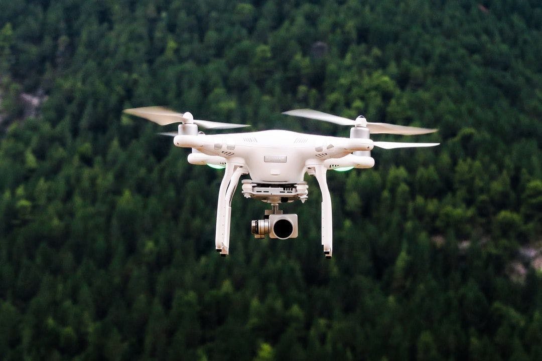
How Agricultural Holdings and Farmers Can Use Drones for Precision Agriculture
by byIntetics Inc.@inteticsinc
Intetics is a global technology company providing custom software development solutions and distributed teams.
July 22nd, 2022


Audio Presented by
Intetics is a global technology company providing custom software development solutions and distributed teams.


Intetics is a global technology company providing custom software development solutions and distributed teams.
About Author
Intetics is a global technology company providing custom software development solutions and distributed teams.
Comments